Notre actualité
Quoi de nouveau ?
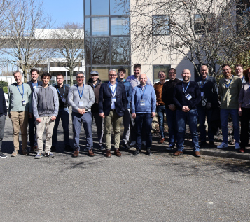
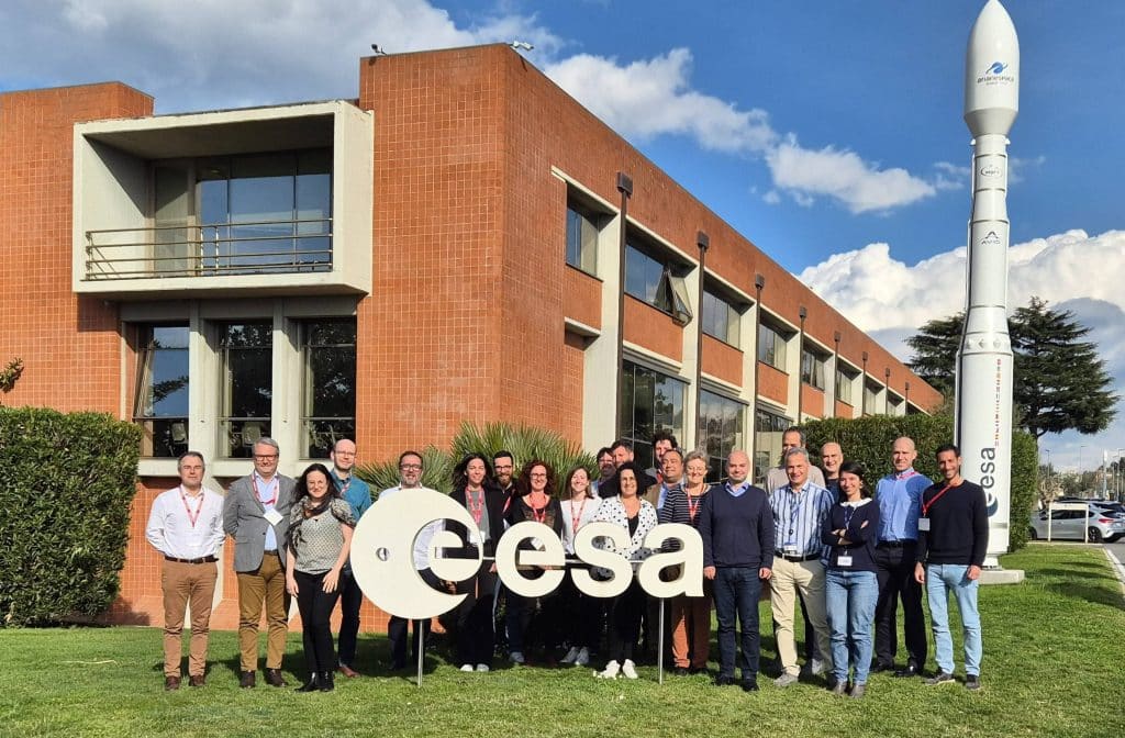
L’ESL Council (Expert Support Laboratory), instance formelle en charge du suivi de la performance de la mission FLEX, s'est réuni début mars dans les locaux de Magellium Artal Group.
Pour SOFINS 2025, nous présentons LocKeeper et ARGO 360, deux innovations adaptés aux besoins opérationnels de la défense et de la sécurité.
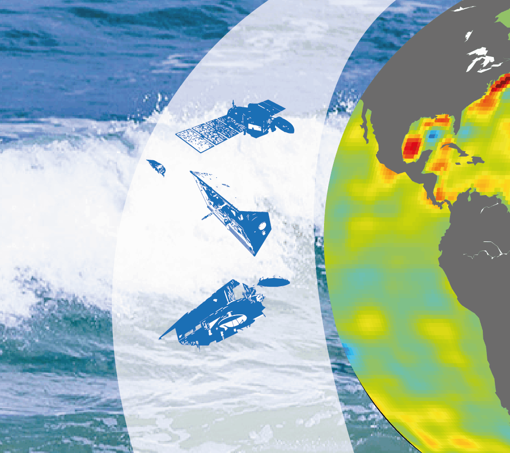
Notre équipe d’ingénieurs-chercheurs a participé à deux articles scientifiques du 8e rapport de l'état de l'océan du Service marin de Copernicus, en apportant notamment son expertise sur l'altimétrie et la gravimétrie.
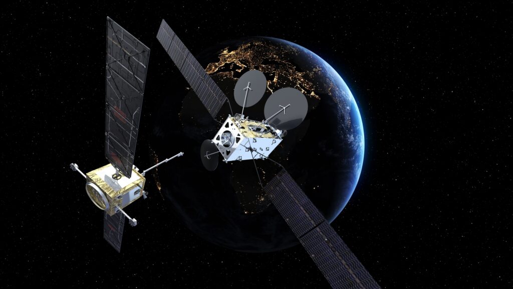
Le projet DIANE va permettre de répondre aux enjeux de prolifération des satellites et débris spatiaux en orbite basse. Magellium Artal Group, en partenariat avec Thales Alenia Space, a été sélectionné dans le cadre du plan France 2030 sur ce projet.
FLEX, mission hyperspectrale de l'ESA, est conçue pour fournir des cartes mondiales sur la fluorescence de la végétation. Après avoir été leader du consortium pour la phase de prototypage, Magellium Artal Group a été sélectionné pour être le leader du consortium pour la phase de développement.
Créé sous l’impulsion de Magellium, CS Group et vorteX-io, le consortium lance HydroVenture, le premier centre d'hydrologie spatiale opérationnelle pour le suivi et la gestion globale de l'eau (soutenant notamment le plan France 2030, le programme européen Destination Earth et contribuant aux services de suivi des ressources en eau et d’alertes précoces de l’ONU).
Partenaire d'Esri France depuis 2006, Magellium Artal Group vient de recevoir une certification.
Rejoignez-nous !
Nous sommes à la recherche de nos futurs collègues dans de nombreux domaines ! Explorez nos multiples offres d’emploi et commencez un nouveau chapitre dans votre carrière chez Magellium Artal Group.

Vous avez une question ?
Nous vous répondrons aussi vite que met la donnée satellite pour atteindre l’opérateur.
