French Guiana’s biodiversity: a unique scientific heritage
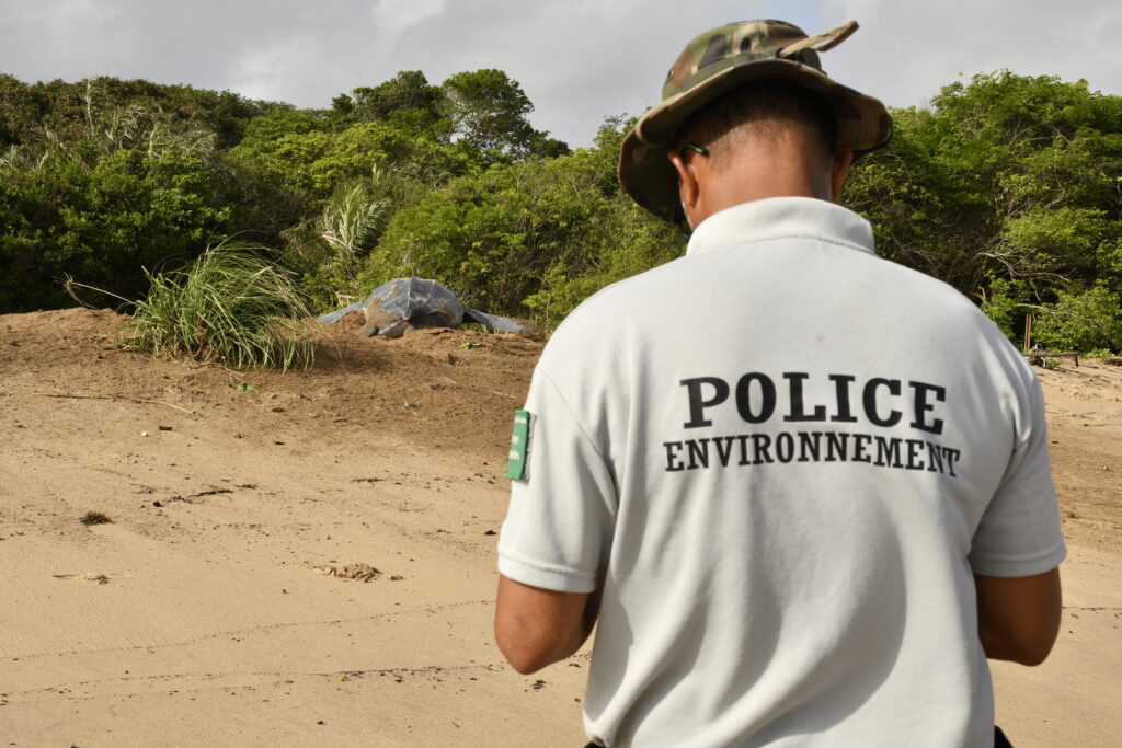
The Amazon rainforest in French Guiana is one of the most biodiverse in the world. A single hectare of it can be home to more plant species than all of Europe combined. Behind this sanctuary lie decades of observations and field surveys that constitute an irreplaceable scientific record. Organizing these data on flora and fauna observations, collected by protected area managers, scientists, or field agents, is now a major challenge for understanding and protecting biodiversity.
In April 2025, the DGTM (Directorate General for Territories and the Sea) of French Guiana, in partnership with the French Guiana Amazonian Park, commissioned Magellium Artal Group to deploy and structure the GeoNature system for several nature reserves in French Guiana, as part of a three-year public contract.
The scope of this project covers a total of 7 national and regional nature reserves.
Since the 1970s, field teams have accumulated thousands of data points in a fragmented manner across non-standardized local databases and Excel files. This fragmentation limited the use, interoperability, and utilization of these data at the regional and national levels. Substantial work was therefore needed to consolidate all existing data, as well as to ensure standardization according to the SINP standard and to guarantee scientific validation in collaboration with protected area managers.
It is in this context that Magellium Artal Group acts as the technical project manager and ensures the quality of the improved system.
GeoNature: Interoperable and Standardized Natural History Data
To address the scale and complexity of the project, the initiative relies on GeoNature, an open-source for the management and dissemination of naturalist data, initially developed by the Écrins National Park. This software enables organize naturalist data and visualize each wildlife or plant observation on a digital web-based.
The project entrusted to Magellium Artal Group involves the migration, standardization, and integration of several decades’ worth of data into a centralized database. The platform was fully configured by the Amazonian Park of French Guiana , and Magellium Artal Group was then able to adapt it to the technical, ecological, and organizational specificities of French Guiana’s protected areas.
The platform is based on a PostgreSQL/PostGIS database, which enables the storage and analysis of geospatial data.
This model, which complies with the national standards of the SINP (Nature and Landscape Information System), ensures the taxonomic standardization of species and the traceability of observations.
SINP standardization promotes interoperability with national biodiversity infrastructures, particularly the systems of the National Museum of Natural History (MNHN).
The GeoNature ecosystem includes several specialized modules:
- Field data entry
- Scientific validation
- Metadata Management
- The dissemination of observations
The entire system is accessible via a responsive web interface and a mobile app. Teams can enter their observations directly in the field under real-world conditions, including in remote forest environments where logistical constraints can quickly arise. This mobile data entry improves data reliability and the efficiency of observations and the teams. In addition, more than 30 field agents were trained in the use of the GeoNature tool during the deployment phase in February 2026.

Finally, the tool provides a comprehensive strategic overview of the region by generating summaries by year, by area, and by species. This is made possible by the centralization and consolidation of all data collected over decades. Some data even dates back to 1979!
The project also has a strong collaborative component. Nine partner organizations (nature reserves and the French Guiana Regional Nature Park) are actively involved in the initiative on a daily basis. Magellium Artal Group and the French Guiana Amazonian Park are responsible for the technical coordination of this ecosystem. This shared governance structure fosters ownership of the GeoNature tool and ensures the system’s long-term sustainability beyond the strict framework of the public contract.
Recognized nationwide, GeoNature is now a approved technical tool and an essential component for integrating French Guiana’s data into a broader scientific and regulatory framework.
Understanding to Protect: GeoNature at the Heart of Environmental Issues
By centralizing practices and standardizing data, GeoNature works to preserve biodiversity and protected areas in French Guiana.
In fact, GeoNature is much more than just a technical tool. The project serves as a valuable tool for supporting public environmental policies. With centralized data and the ability to generate specific reports, GeoNature enables compliance with European and international requirements for environmental reporting, strengthen funding applications for conservation, and produce reliable indicators on the state of biodiversity in protected areas.
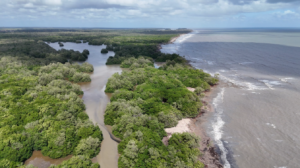
By compiling nearly 50 years of observations of flora and fauna, GeoNature is also helping to lay the groundwork for a genuine regional biodiversity observatory. Ultimately, the consolidated data will enable us to better understand the evolution of Amazonian ecosystems and better address the challenges of climate change.
Beyond the circle of experts, the project is part of a broader goal: to make the richness of French Guiana’s natural heritage. For in a region where biodiversity is both exceptional and fragile, gaining a better understanding of living organisms is the first step toward protecting them more effectively.