Our flagship projects

We're proud to contribute to major French, European and international projects that enable us to showcase our expertise and the way in which we've delivered the solution to our customer.

We have contributed to over 350 projects

  • Project sectors

Accélérer la recherche et révolutionner la mobilité autonome des véhicules terrestres en environnement complexe.
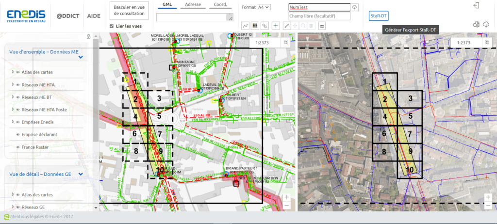
Since 2019, Magellium Artal Group has been supporting Enedis, in the management, development, operation and maintenance of its geographic applications within its Information System (IS). This support, in the form of a framework agreement, was renewed in 2023 until 2032. Subsequent contracts have been signed for various projects.
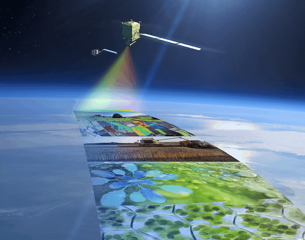
Since 2017, Magellium Artal Group has been actively contributing to the FLEX L2 and FLEX DISC projects of ESA's FLEX mission through prototyping, developing processing chains and monitoring mission operations and performance.
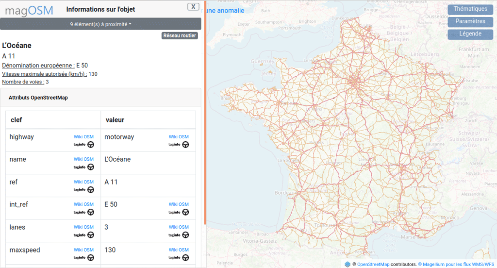
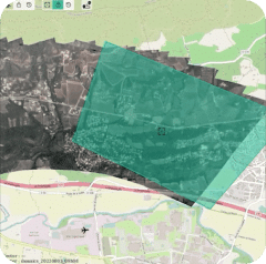
magOSM is a platform developed by Magellium Artal Group to provide easy access to OpenStreetMap data, with geographical data updated daily for mainland France. Find out more about this open-licence tool, which has about 1,300 users a month.
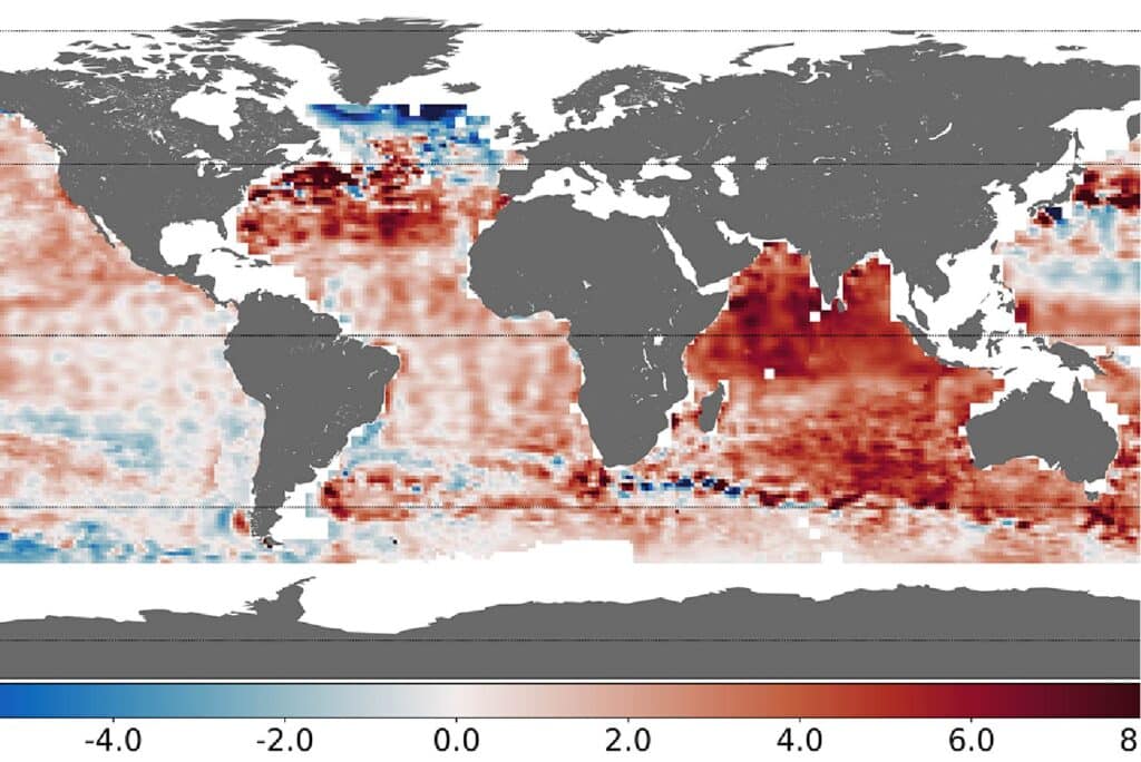
Spatial data to understand climate change by calculating the heat content of the oceans and the Earth's energy imbalance.
Farmstar improves agricultural management and crop needs through remote sensing technologies.
European Commission project, Horizon Europe, to improve forecasting of extreme hydrological events.
Provide precise real-time mapping of a fire zone using a long-range remotely piloted aircraft.

Join us!

We are currently looking for our future co-workers in many fields! Explore our job offers and start a new chapter in your career at Magellium Artal Group.

join application internship cdi magellium artal group

Our highly-developed expertises apply to many fields

Image processing, digital mapping, robotics, artificial intelligence, geo-intelligence, software development - we are an engineering company operating in the most general as well as the most specific fields of engineering.

Automation and Images

Earth Observation and Space Monitoring

Digital geography

Software and systems engineering

Optimise the efficiency of your project with our turnkey solutions

Our solutions are designed to meet your most complex needs, in order to boost your project to success. Our solutions can be implemented according to your needs, ready to use or tailor-made.

+5

efficient and complete solutions

+7

proven technologies

Do you have any question?

We'll get back to you as quickly as the satellite data takes to reach the operator.

Back to top